 HuntTide
Every hunt. Every cast.
Land, water, wind and tides in one map. See who owns the land, find public ground, read the wind, check the tides, and take it all with you where there's no signal.
What's in it
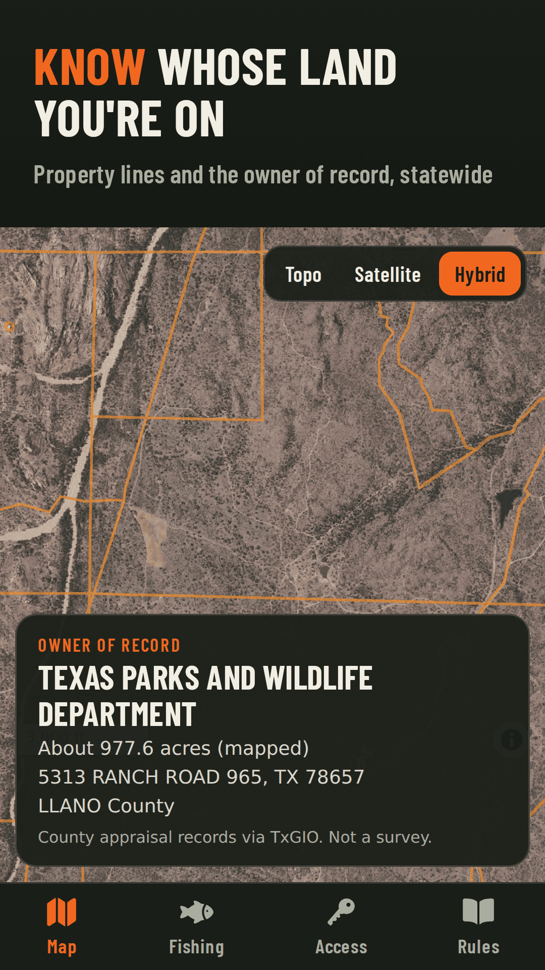
Know whose land you're on
- Property lines with the owner of record from county appraisal records
- Search by address, owner name, town or coordinates
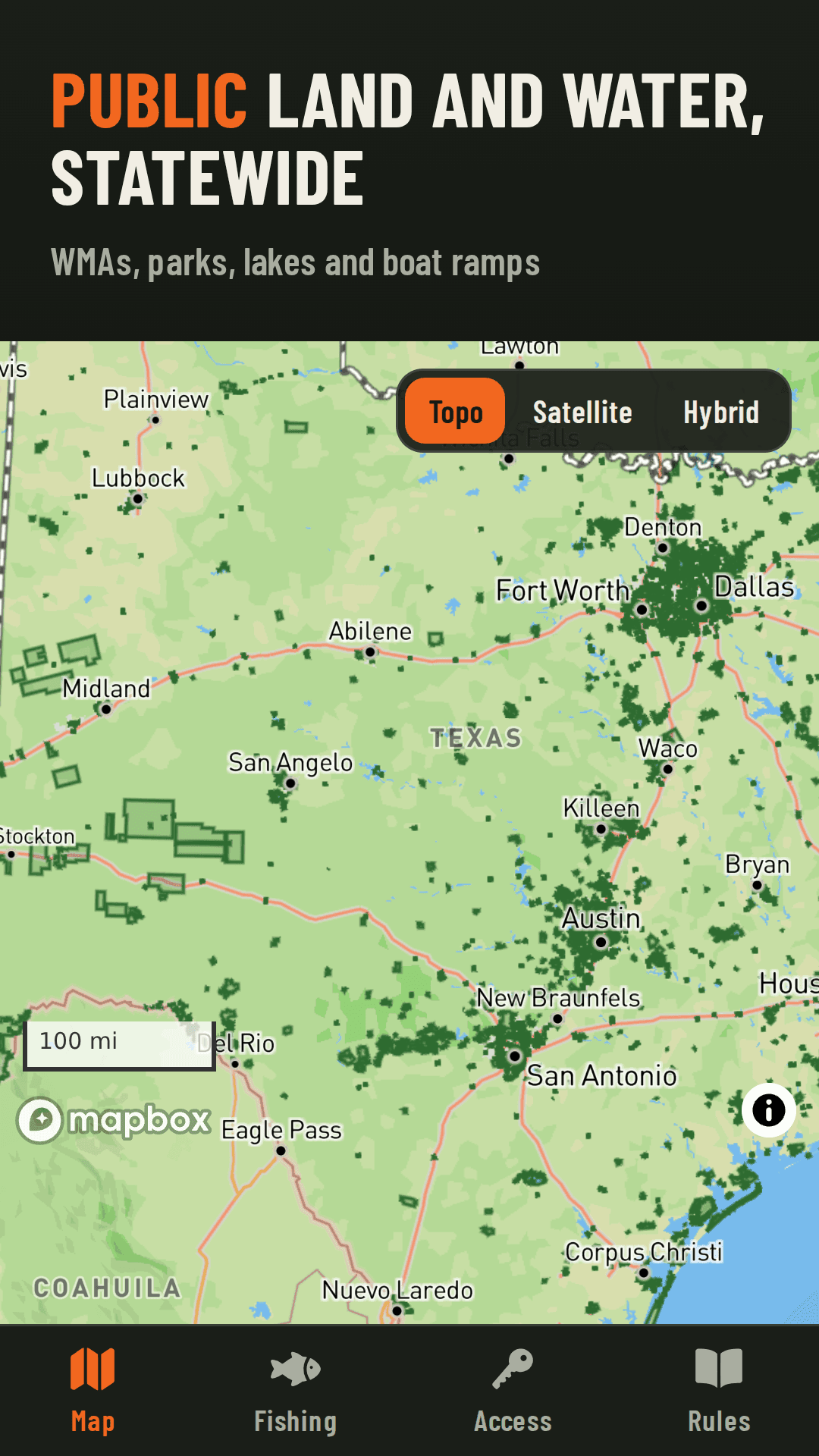
- Public land, Wildlife Management Areas and lakes, clearly marked
Hunt smarter
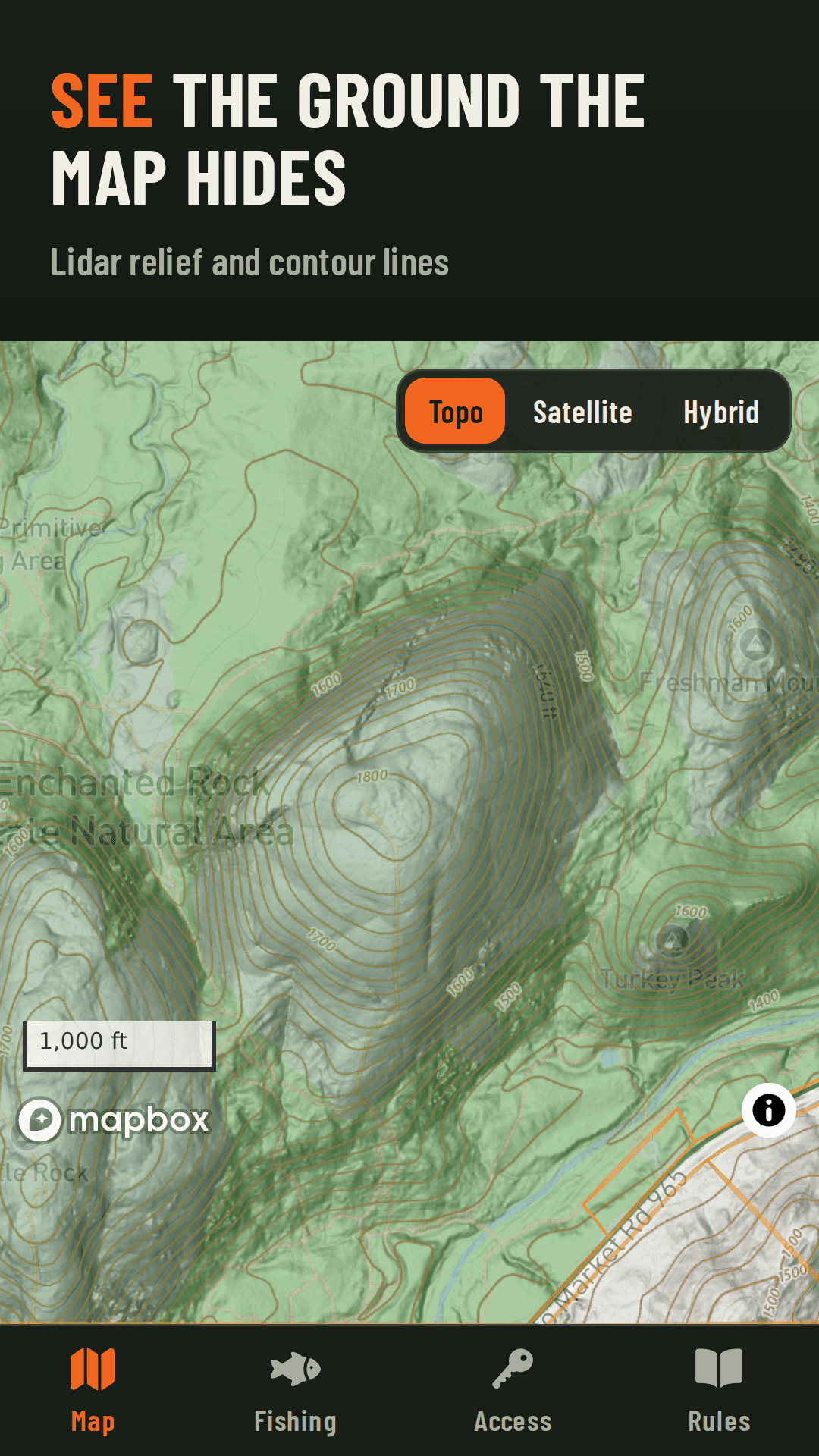
- Lidar relief and contours show ridges, draws and creek cuts
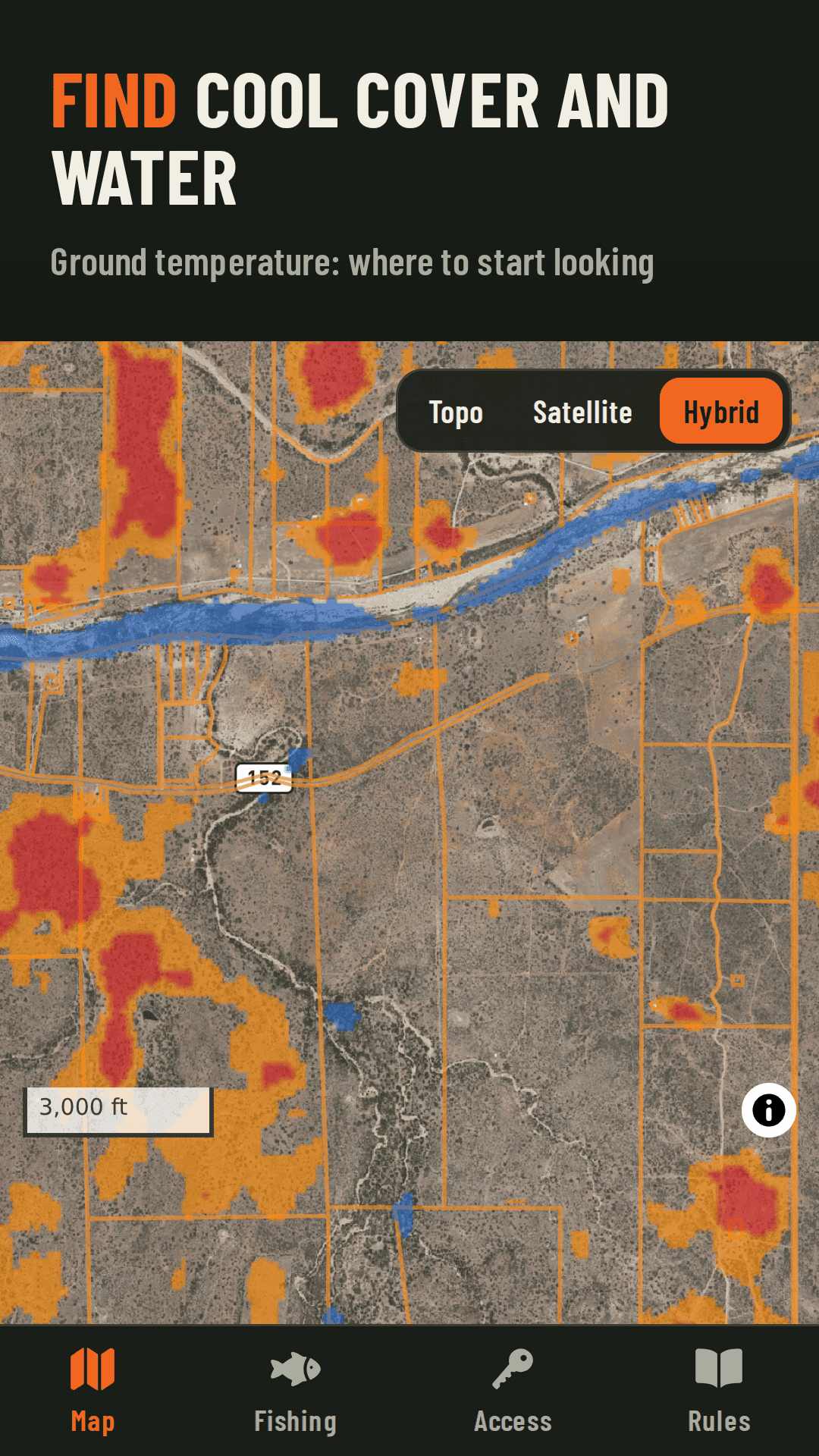
- Ground temperature from satellite: where to start looking for cool cover
- Wind and scent cone, live radar and the wind forecast
- Seasons and bag limits for where you stand, with the official source
Fish smarter
- Tides and currents along the coast
- Marine forecasts for bays and offshore zones
- River flows, gauge heights and lake levels
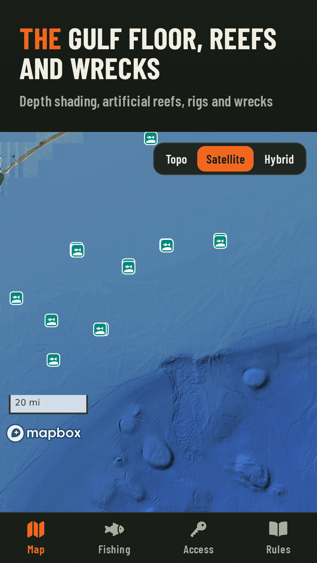
- Gulf depth shading, reefs, wrecks, rigs and boat ramps
Works with no signal
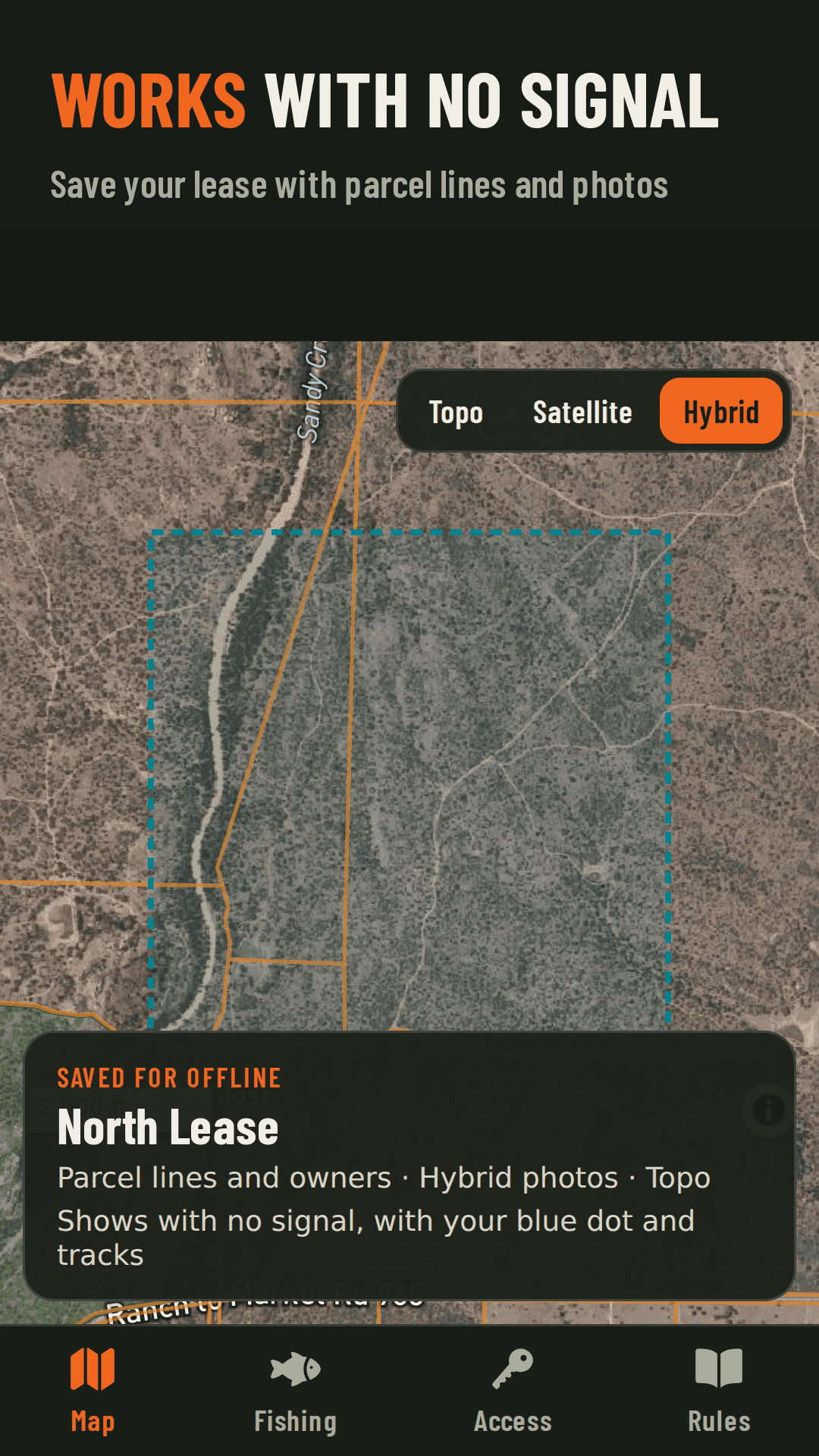
- Download your lease, ranch or bay before you go
- Property lines, owner names, public land and your pins stay with you in airplane mode
- Pins, photos and tracks sync when you're back in signal
Your map, your spots
- Pins for stands, feeders, cameras and catches, with notes and photos
- Bring your pins over from onX, Garmin or Google Earth
- Record tracks and measure distance and acres
- Satellite, topo and hybrid maps with 3D terrain
See it
Where it works
Property owners, public land, hunting rules and fishing data cover all of Texas today, with more states on the way. Property lines come from county appraisal records and aren't a survey. Charts are not for navigation. Always confirm seasons and limits with your state wildlife agency, respect posted boundaries, and get permission before you hunt private land.